




Traverse
The mountains in your pocket: 3D terrain, trip planning and a safety layer in one app.
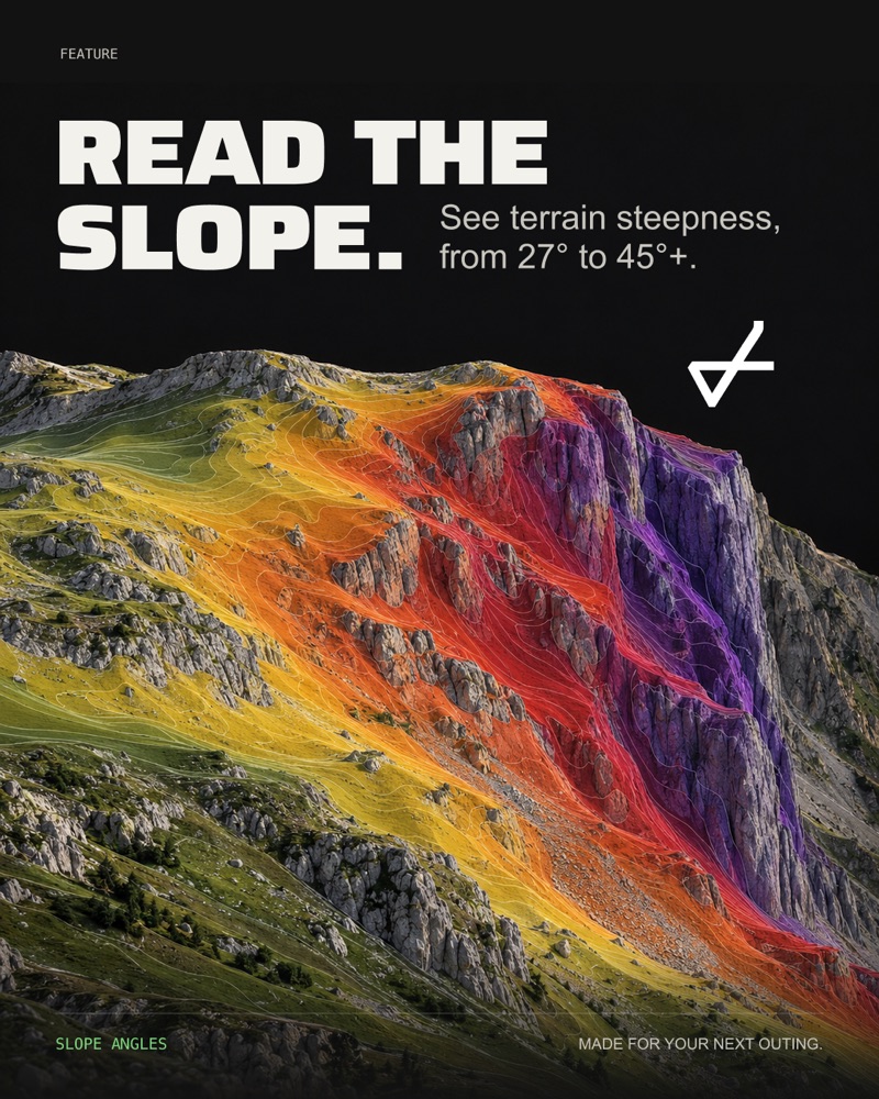
Read the slope
Terrain steepness from 27° to 45° and up, read before you go.
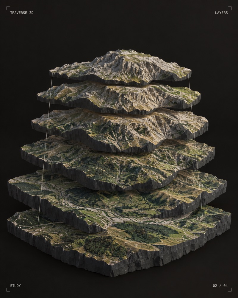
Terrain in layers
How the 3D map is built, shown as a study.
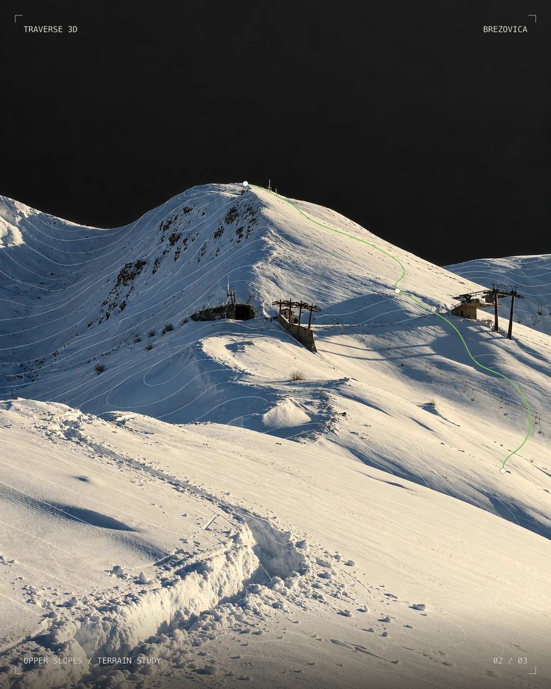
Upper slopes
A planned line drawn over the real contours.

The mark
The Traverse mark on woven and rubber patches.
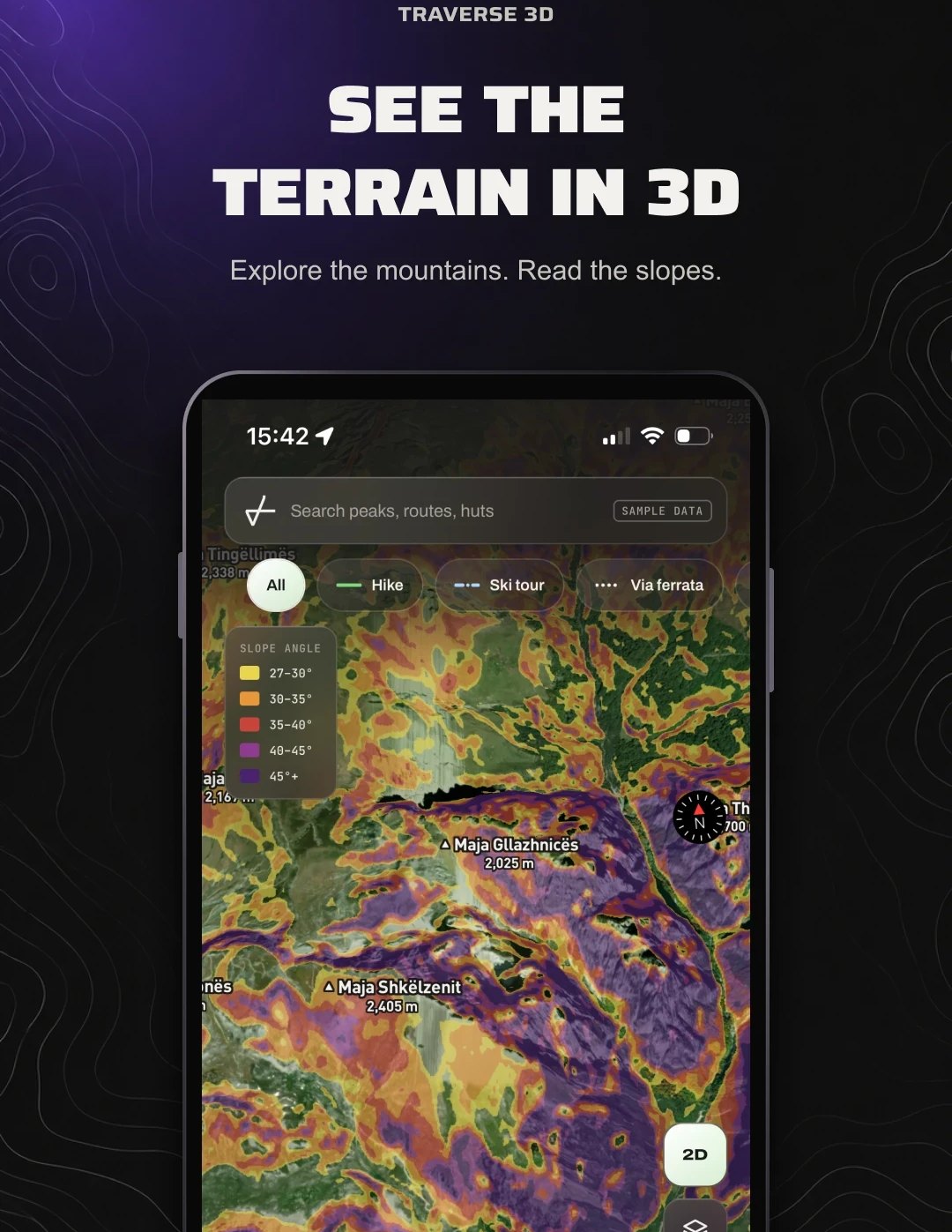
In the app
The 3D map with the slope-angle layer switched on.

Trail marker
The Traverse mark, painted the way routes are marked.

The map as an object
Terrain, cut and lit like a still life.